Research at SMU
Research Projects
The Graduate Project is a capstone experience in which a learner applies their analytical skills to real world situations. Students are encouraged to use the capstone project as a vehicle for pursuing their interests, given the project provides ample opportunity to utilize GIS and includes an analytical component. Learners often work with an outside agency or individual on a topic of common interest. Recent projects include:
- Changes in the Water Table: A Case Study
- A Comparative Analysis to Determine the Role Demographic and Geographic Variables Play in the Assessed/Sale Ratio of Parcels
- Using GIS to Identify Suitable Areas for Smart Growth and Transit Oriented Development (TOD)
Instructors also incorporate real-world projects into classroom learning, often working with an outside agency or individual to respond to an existing need. Recent projects students have completed as part of a course activity include:
- Mapping safe walking routes for employees to promote healthy lifestyles
- Identifying best potential locations for a historic fort to help guide the investigations of professional archeologists.
- Demonstrating how GIS can be used in the health-care field for a local hospital
- Creating a proof-of-concept and project plan for mapping various types of building infrastructure for a facilities department
- Modeling suitable sites for business expansion
GeoSpatial Services
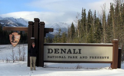
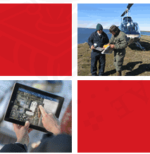
GeoSpatial Services (GSS) is a project center housed within Saint Mary’s University, which provides students in the program with opportunities to gain practical work experience. GSS specializes in the development of new spatial data, conversion of hardcopy map products into digital spatial data, air photo interpretation, wetland and natural resource mapping, and internet GIS applications. GSS is also working with the National Park Service to complete natural resource condition assessment projects.
Read more about GeoSpatial Services.