Program Overview : Facilities/Technology
Facilities and Technology
 The Resource Analysis Department at Saint Mary’s University is proud to stay on the cutting edge of GIS technology. The department is committed to maintaining awareness of advances in software and data collection methodology.
Lab Facilities: The Twin Cities campus has state of the art labs with the full suite of ArcGIS software. The Winona campus offers 24 hour access to a lab with the full suite of ArcGIS software. Students enrolled in the program also receive a student version of ArcGIS Desktop and ArcGIS Pro software for use at home. Students are also provided with an account to use the ArcGIS Online platform
Software: Esri ArcGIS software is the core GIS software used in the program. This is the most popular GIS software in the world based on number of installs (ESRI press release). Over 1 million people use ESRI software in more than 300,000 organizations. These organizations include businesses, government, NGOs, and academia. Learners can expect to become immersed in learning the latest Esri technology platforms including ArcGIS Desktop, ArcGIS Pro, ArcGIS Enterprise, ArcGIS Online and related platforms. These platforms are supplemented by education in programming and web-based languages such as R, Python, and JavaScript.
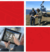
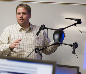
Hardware: The DIGA615 (Data Acquisition and Location of Things) course exposes learners to a variety of spatial data collection techniques. The department has surveying equipment and several traditional and mobile GPS units available for classroom use and to support student projects.